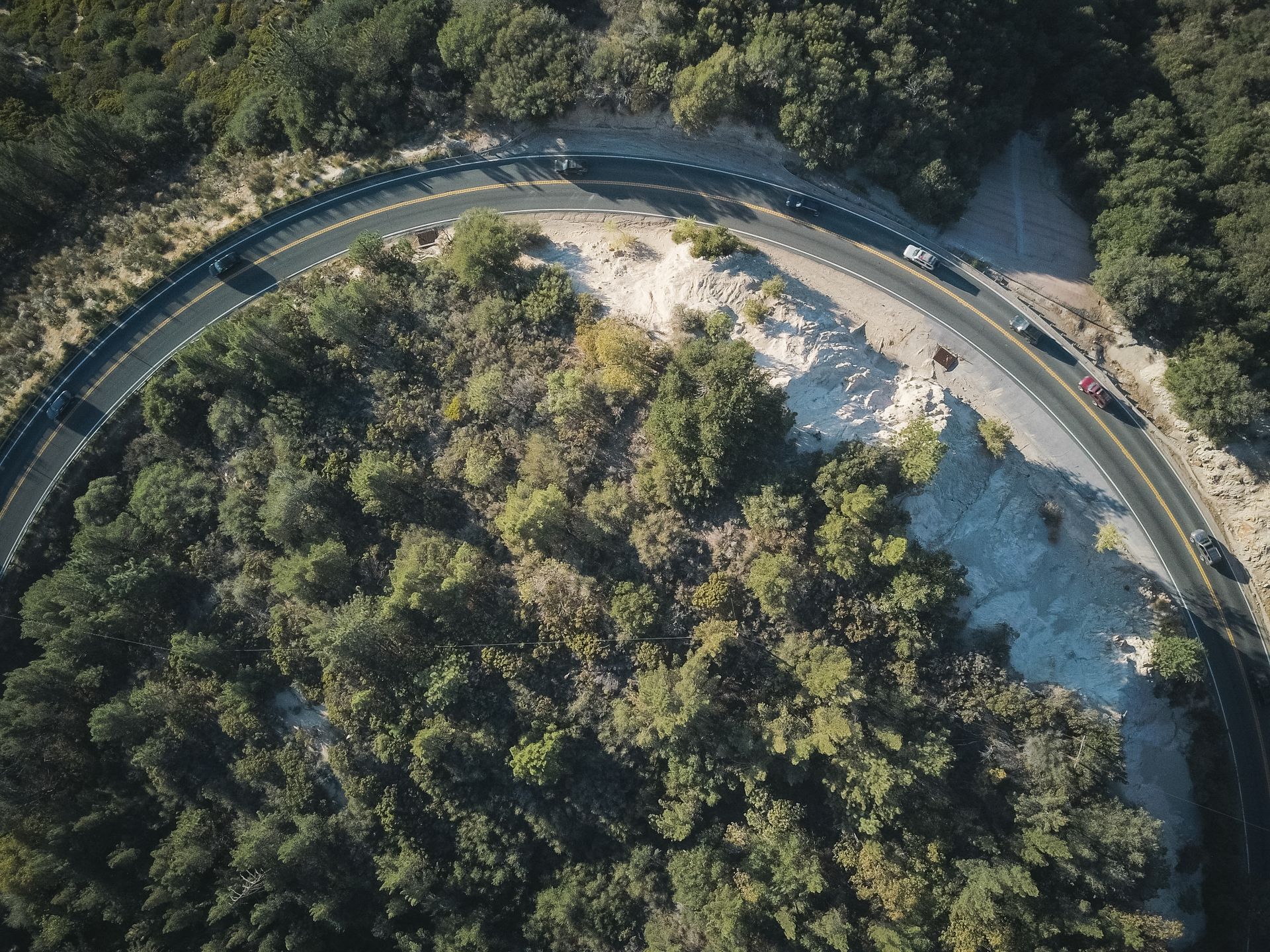
Maps
Orthomosaics
Distortion-free, georeferenced site maps at up to 1 cm per pixel — ready for CAD and GIS.
Service 03 — What it entails
We fly automated grid missions with RTK positioning and ground control, then process the imagery into orthomosaic maps, digital elevation models and stockpile volumes.
Construction managers use our surveys for cut-and-fill checks, developers for planning evidence, and landowners for boundary and condition records.
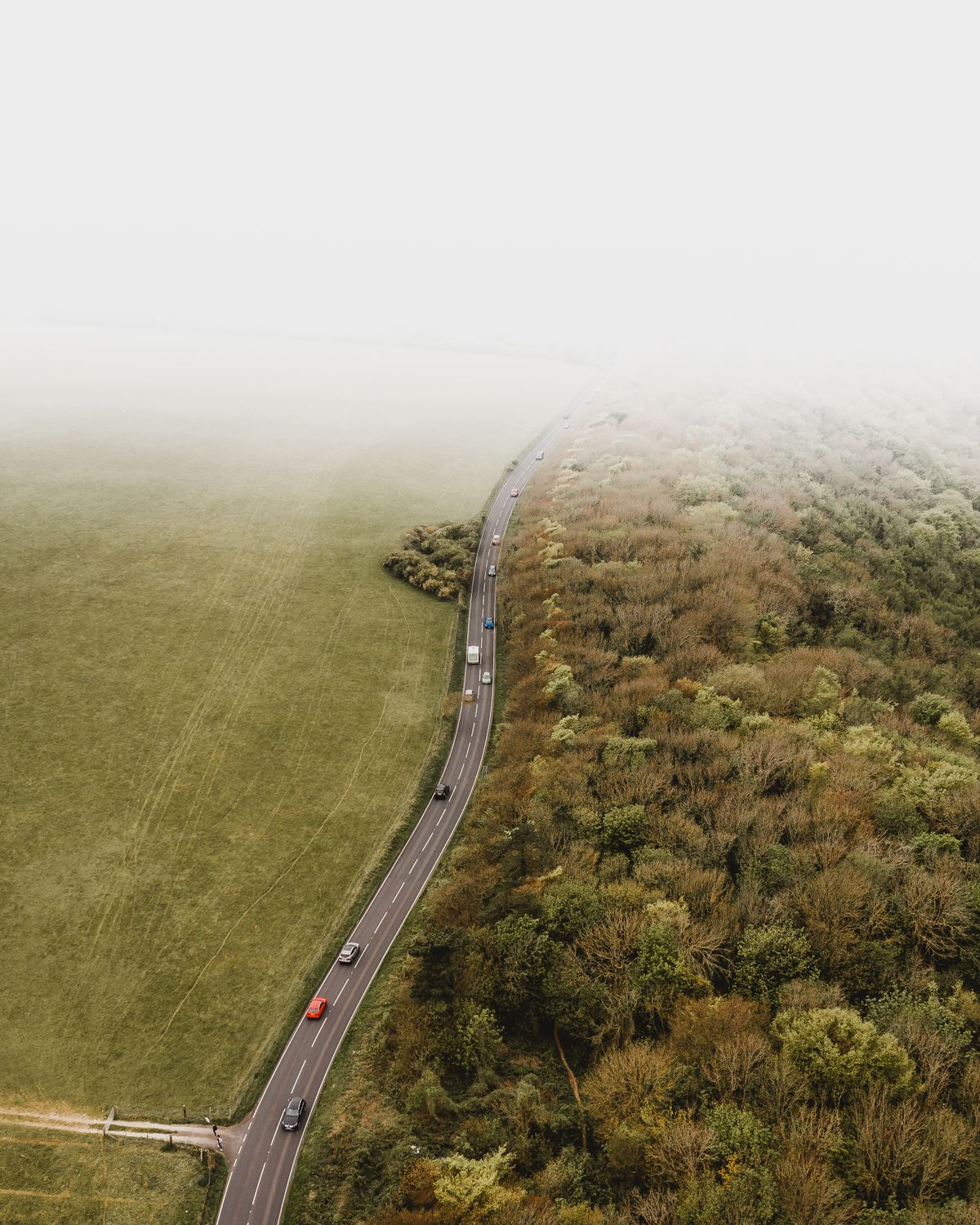
Deliverables
Maps
Distortion-free, georeferenced site maps at up to 1 cm per pixel — ready for CAD and GIS.
Terrain
Digital surface and terrain models with contours for drainage, grading and volume work.
Progress
Same flight plan, same control — weekly or monthly records that show exactly what moved.
Survey examples
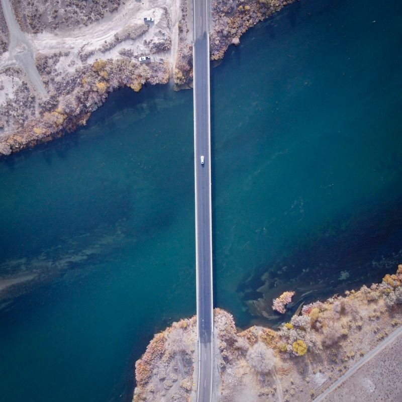
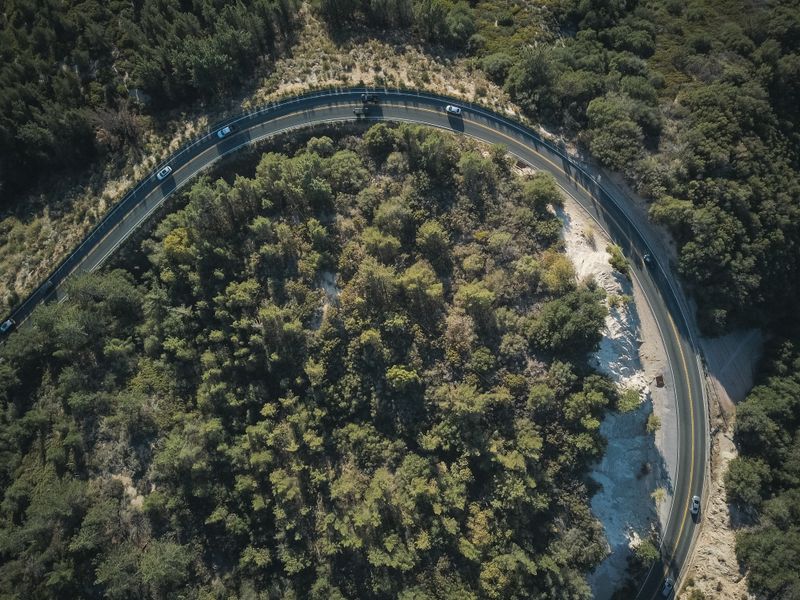

“Their weekly orthomosaics ended every argument about what was done when. The volume figures matched our ground survey within two percent.” — Site manager, highway extension project
With RTK and ground control we routinely achieve 1–3 cm horizontal accuracy. The flight plan states the expected tolerance before we fly.
GeoTIFF orthomosaics, LAS point clouds, DXF contours and a browser viewer link — plus PDFs for stakeholders who just need the picture.
A single day covers several hundred acres at survey resolution. Larger sites are split into multi-day missions with matched control.
We work alongside them. Our data feeds your surveyor's control network, and we flag anything that needs ground verification.
Send the site boundary and the accuracy you need — we return a flight plan and fixed price.