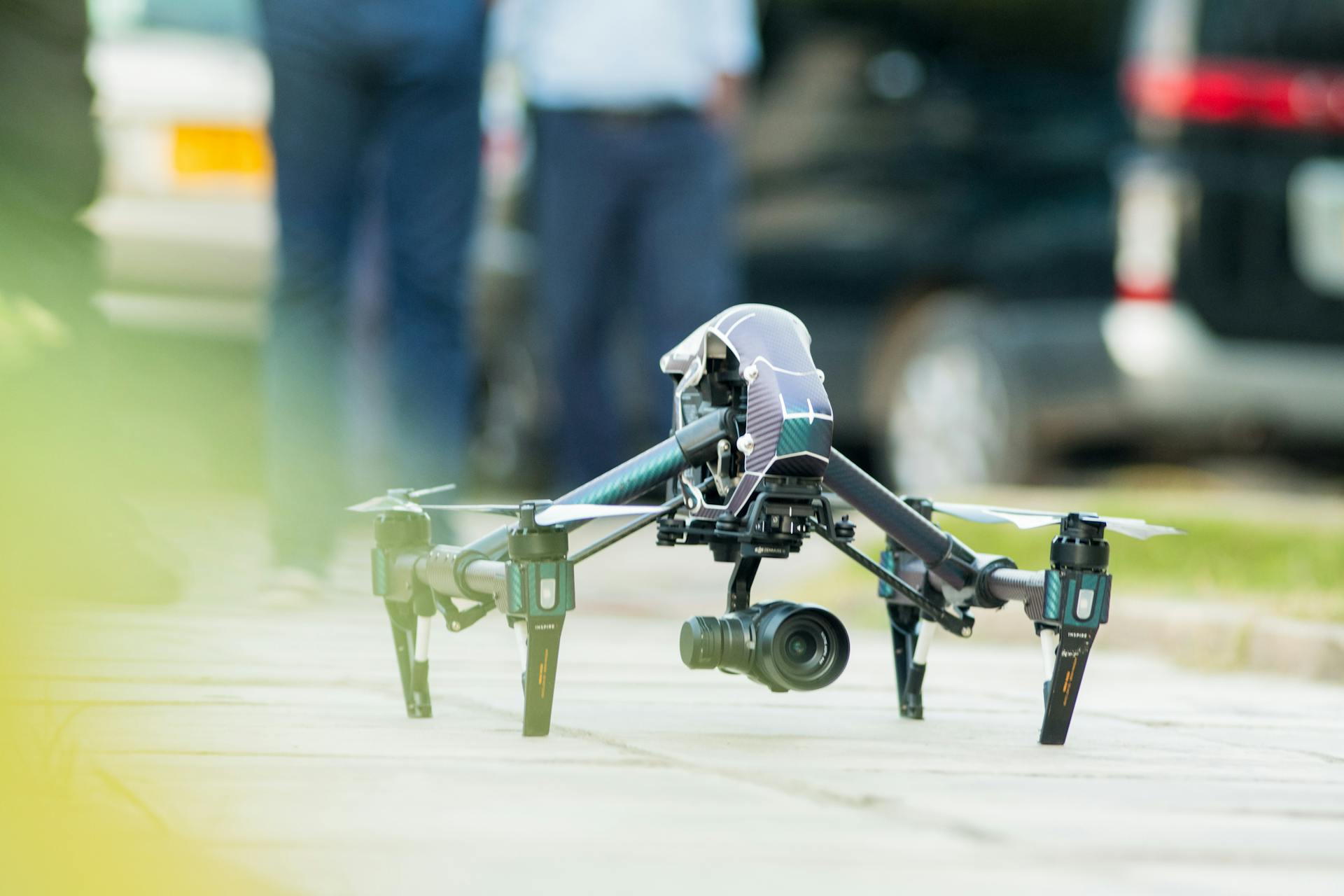
Step 01
Plan the mission
We scope the shots, check airspace and permits, and lock a flight plan with you before anyone leaves the ground.
Home / About Us
Talonview Aerial Services is a crew of licensed pilots, editors and survey specialists capturing the world from above since 2019.
Who we are
We started with one quadcopter and a simple idea: the best view of any project is the one nobody has seen yet. Today Talonview flies aerial photography, film sets, weddings, construction sites and survey missions across the country.
Every mission is planned at the table before it is flown in the field. Our pilots are certified, insured, and briefed on local airspace for each flight — so you get striking footage without paperwork surprises.


How we work
Step 01
We scope the shots, check airspace and permits, and lock a flight plan with you before anyone leaves the ground.
Step 02
Certified pilots fly redundant airframes with spotters, checklists and full insurance on every location.
Step 03
Colour-graded stills, cut films or survey-grade maps — delivered in the formats your team actually uses.
Tell us about the site, the date and the shot. We reply within one business day.